Military Debriefing[]
Prepare your tools[]
Use GPS tools which export flight data in Tacview-compatible formats, preferably .eag or .gpx.
Tacview supports numerous variants of .csv also - if you have a .csv file try opening it in Tacview and if it doesn't work and you're not sure why, contact us.
Make sure each track is named after the aircraft's voice call sign such JE121 for Juliette 121.

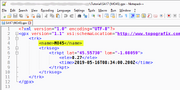
EAG Sample Header

GPX Sample Header
Prepare your terrain[]
By default Tacview displays the entire 3D earth in low resolution. (ETOPO1)
You may wish to display more terrain details (textures, elevation)for the area over which you will be flying missions.
Some areas are already available for download.
Add areas and scenarios[]
The best way to display areas, such as air corridors and training ranges, is to export static data from your preferred tool in KML format.
For example, you could use Global Mapper or Google Earth to create your data set, then use the appropriate functions to export in KML.
Tacview supports only a subset of the KML file format. You will be able to display lines, areas, and 3D volumes. Bitmaps are not supported. Make sure your data is exported with an appropriate resolution. If it is too high, it can be too slow to display in real-time, if it is too low, then some areas will not follow the curvature of earth in the 3D view.
Add Bullseyes and SAMs[]
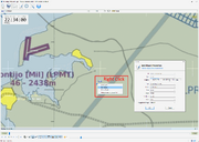
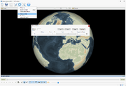
You can easily add Bullseyes and SAMs in Tacview by right-clicking on the 3D view.

Add new object directly in 3D view
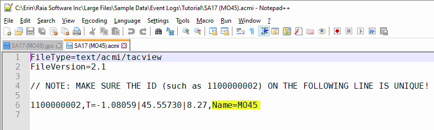
You may find it more efficient to prepare mini track files (acmi or gpx) so you can easily inject them in each debriefing battlefield as needed.

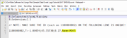
Mini .gpx file
Mini .acmi file
Then merge the mini track files with the loaded data by CTRL + drag and drop.
Build your database[]
If you open your telemetry files in Tacview they will work but you might not see the correct aircraft or color.
A quick fix is to edit the object directly in the 3D view

Edit object directly in 3D view
However, if you have lots of aircraft it is more efficient to create a database to automatically assign aircraft types and colors based on each gps track voice call sign.
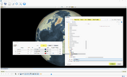
In Tacview, navigate to Add-Ons -> Database Builder

Access Database Builder
Use the tool to enter the details of each aircraft or aircraft group (including SAM's and ships) and save it in %ProgramData%\Tacview\Data\Database\Default Properties\

Filling out Database Builder
You can use Database Builder on all Aircraft, Watercraft, Warships and Anti-Aircraft assets.
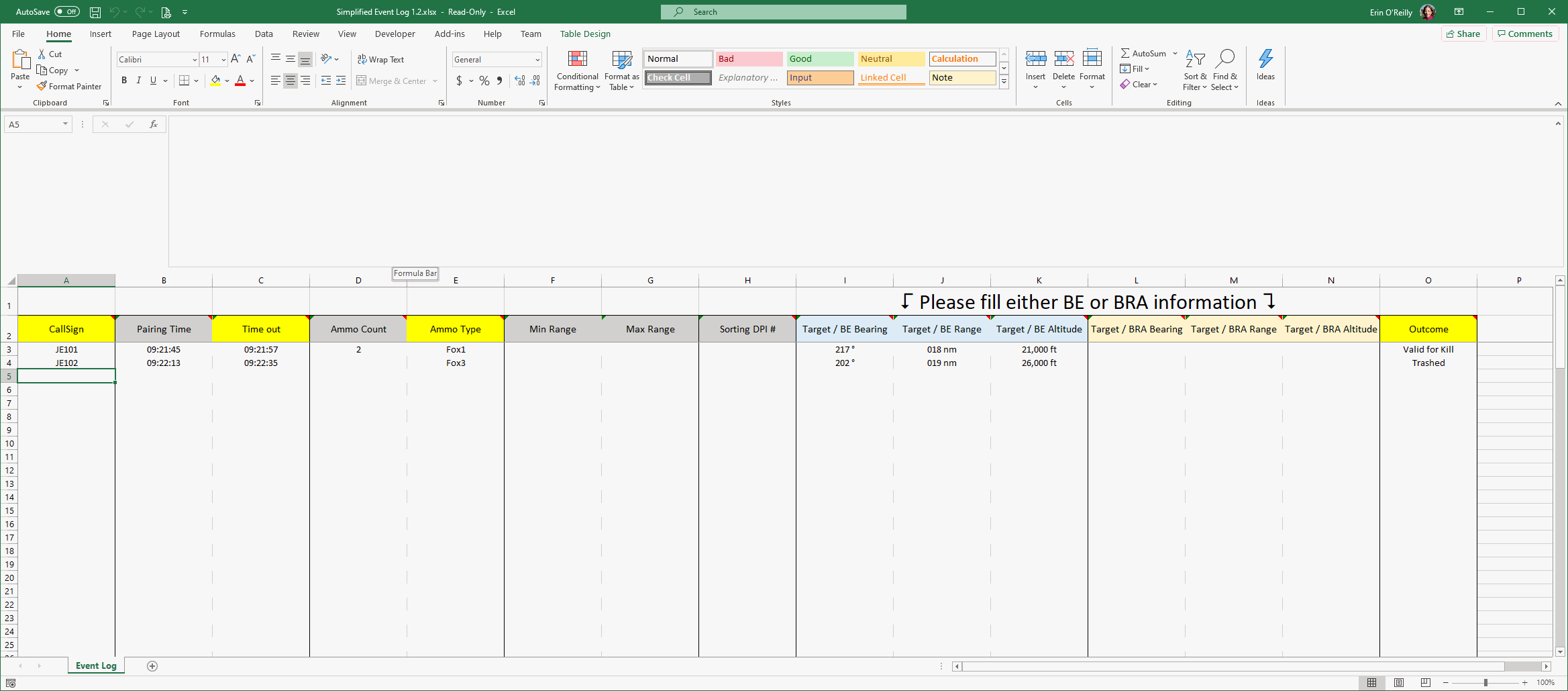
Fill out the Event Log / Shot Log[]
To add event details (including any interactions between aircraft and SAM as well as air boss remarks), find the event log located at C:\Program Files (x86)\Tacview\AddOns\XLSXEventLog\Simplified Event Log 1.3.xlsx
Simplified Event Log
Give a copy to everyone who needs one - for each exercise you may fill out as many event logs as you wish and have Tacview merge them all together at debriefing time.
Incorporate media files[]
Bring it all together[]
Open your telemetry files and kml files together in Tacview by CTRL + Drag & Drop or File-> Merge.
If you have built a custom database, it is automatically active.
Load your event log(s) by navigating to Add-Ons -> Event Logs -> Load/Merge
More Tips & Troubleshooting[]
Is your acmi file longer than it needs to be? Navigate to the time that you are interested in, i.e. the time the exercise actually starts at, and Trim Before to remove all data before that point. Likewise, navigate to the end of the exercise and Trim After to remove any time at the end that may not be useful to you.

Trim before and after
Is the Database Builder add-on not showing in the add-on menu? Try downloading the following patches:
- Microsoft Visual C++ Redistributable for Visual Studio 2015, 2017 and 2019: https://support.microsoft.com/help/2977003
- Microsoft .NET Framework Runtime: https://dotnet.microsoft.com/download